Mount St. Helens 3D terrain model
Washington, USA
About this model
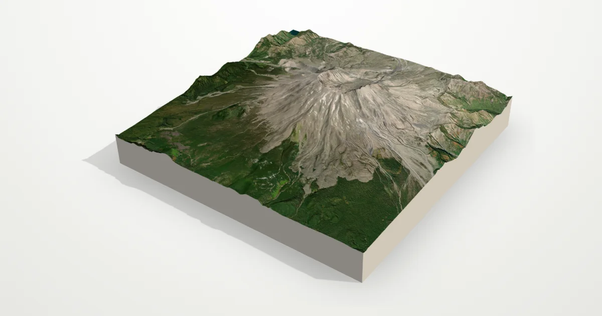
The 1980 eruption removed the volcano’s summit and north flank, leaving a horseshoe-shaped crater open to the north and a new lava dome inside. The collapse scar is unmistakable in 3D.
The frame is 12 km across, centred on 46.1914° N, 122.1956° W. Open it in the editor to change the style, exaggerate the height, turn it into a circle, or move the frame — then download it for your 3D printer, as a poster or as a 360° video.
Elevation
- Highest point
- 2,531 m8,304 ft
- Lowest point
- 671 m2,201 ft
- Relief
- 1,860 mtop to bottom
- Average height
- 1,285 macross the frame
- Area
- 12 × 12 km144 km²
- Highest point at
- 46.1914° N, 122.1956° Wfrom the elevation data
Measured on the same elevation grid as the model (Terrain Tiles, AWS Open Data). Summit heights can read a little lower than surveyed ones because each sample averages a small area.