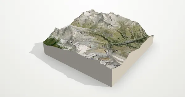
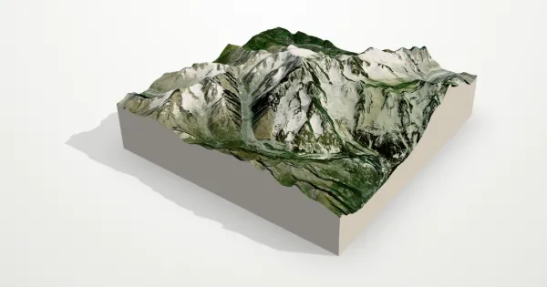
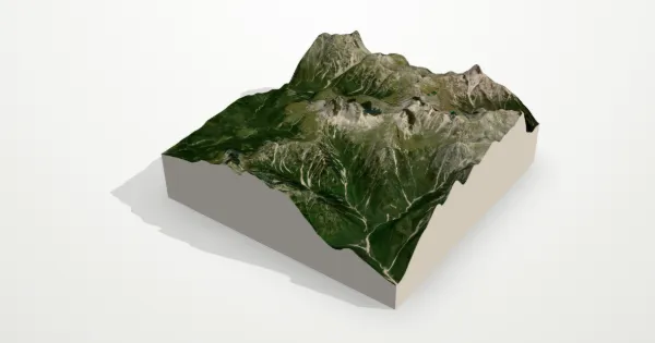
Formazza 3D terrain model
Lepontine Alps, Italy
About this model
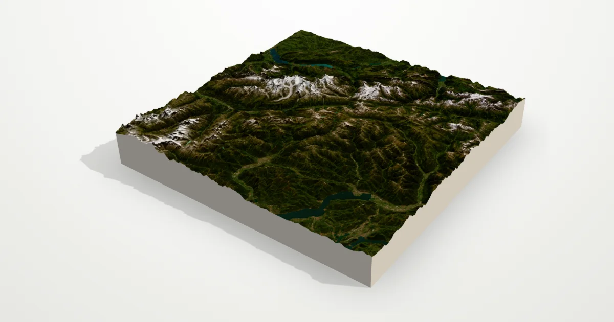
A wide frame over the Lepontine Alps where Italy meets Switzerland: deep glacial valleys, the lakes of Ticino to the south and the high Valais peaks to the west. At this scale the whole drainage pattern of the central Alps reads like a sculpture.
The frame is 111 km across, centred on 46.4401° N, 8.3418° E. Open it in the editor to change the style, exaggerate the height, turn it into a circle, or move the frame — then download it for your 3D printer, as a poster or as a 360° video.
Elevation
- Highest point
- 4,449 m14,596 ft
- Lowest point
- 167 m548 ft
- Relief
- 4,282 mtop to bottom
- Average height
- 1,726 macross the frame
- Area
- 111 × 111 km12,321 km²
- Highest point at
- 45.9415° N, 7.8670° Efrom the elevation data
Measured on the same elevation grid as the model (Terrain Tiles, AWS Open Data). Summit heights can read a little lower than surveyed ones because each sample averages a small area.