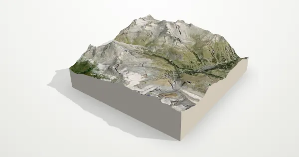
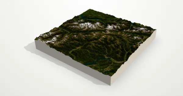
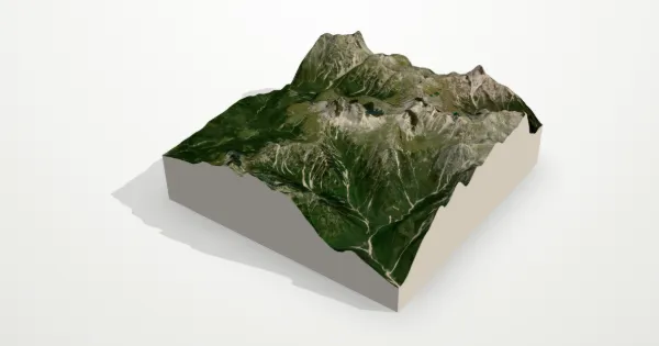
Mont Blanc 3D terrain model
France · Italy
About this model
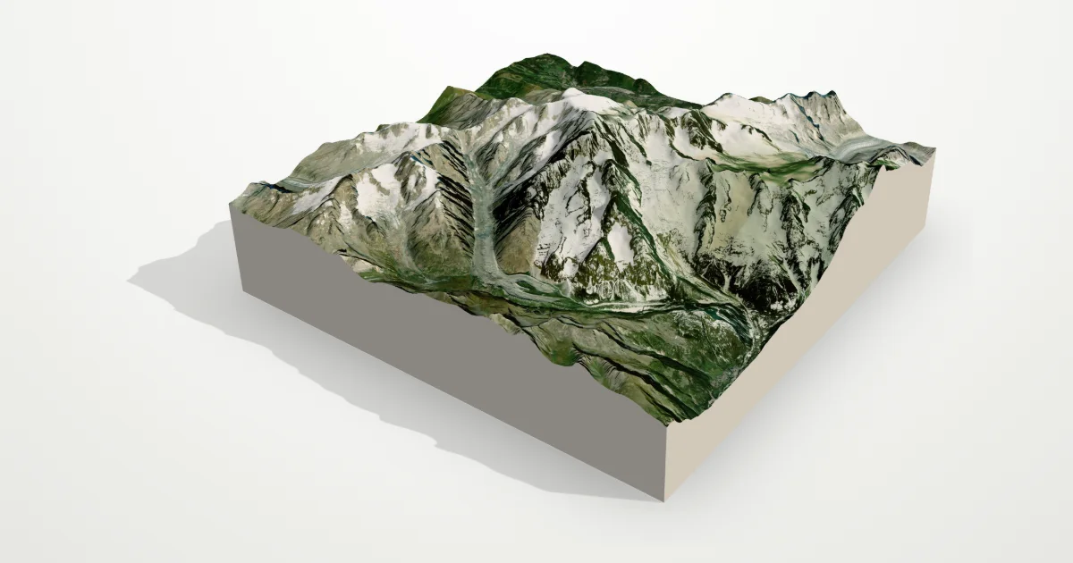
The highest mountain in the Alps, at about 4,800 m, straddling France and Italy above Chamonix and Courmayeur. Glaciers such as the Mer de Glace and the Bossons pour down its flanks between granite needles.
The frame is 16 km across, centred on 45.8326° N, 6.8652° E. Open it in the editor to change the style, exaggerate the height, turn it into a circle, or move the frame — then download it for your 3D printer, as a poster or as a 360° video.
Elevation
- Highest point
- 4,790 m15,715 ft
- Lowest point
- 924 m3,031 ft
- Relief
- 3,866 mtop to bottom
- Average height
- 2,574 macross the frame
- Area
- 16 × 16 km256 km²
- Highest point at
- 45.8326° N, 6.8641° Efrom the elevation data
Measured on the same elevation grid as the model (Terrain Tiles, AWS Open Data). Summit heights can read a little lower than surveyed ones because each sample averages a small area.