Santorini 3D terrain model
Greece
About this model
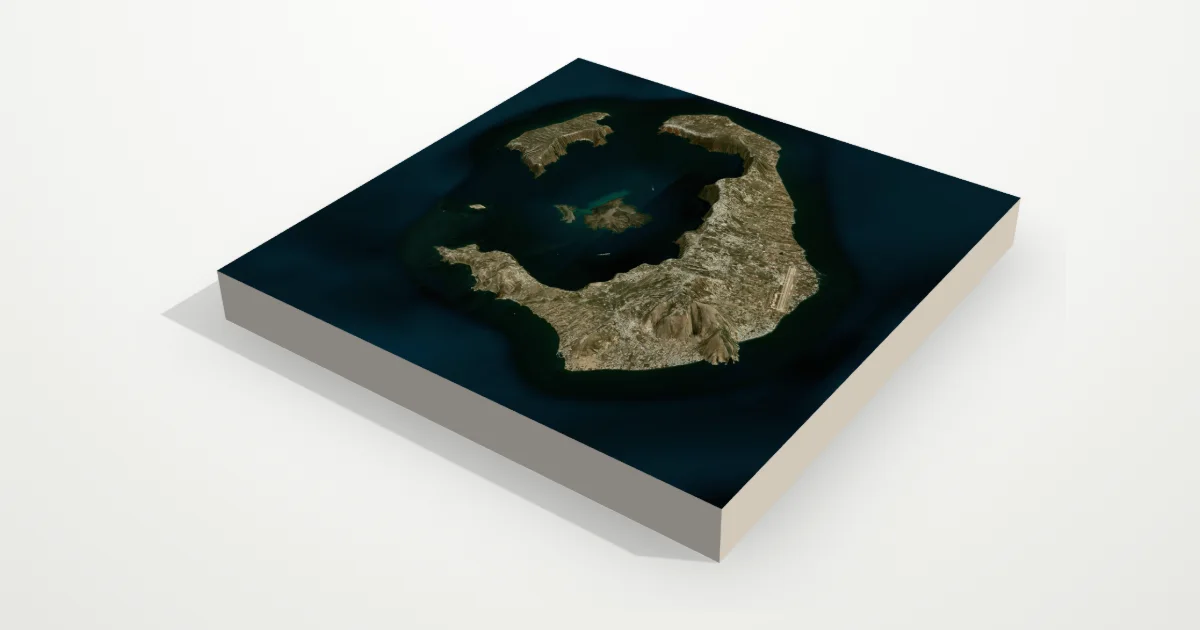
A flooded volcanic caldera in the Aegean: a ring of steep cliffs around a lagoon several hundred metres deep, with the young volcanic islands of Nea Kameni at its centre. With sea flattening off, the drowned caldera floor shows too.
The frame is 20 km across, centred on 36.4000° N, 25.4100° E. Open it in the editor to change the style, exaggerate the height, turn it into a circle, or move the frame — then download it for your 3D printer, as a poster or as a 360° video.
Elevation
- Highest point
- 525 m1,722 ft
- Lowest point
- -71 mbelow sea level
- Relief
- 596 mtop to bottom
- Average height
- 23 m78% of the frame is sea
- Area
- 20 × 20 km400 km²
- Highest point at
- 36.3687° N, 25.4635° Efrom the elevation data
Measured on the same elevation grid as the model (Terrain Tiles, AWS Open Data). Summit heights can read a little lower than surveyed ones because each sample averages a small area.